BAUE Shale Island Project
August 26, 2006
The objective of the Shale Island Project was to expand our group capacity to explore and document off-shore sites from a boat, while using more complex and sophisticated strategies for collecting data and documentation information.
The site we chose for this endeavor was easily accessible by charter boat, requiring only a short (10 minute) ride from the loading dock in Monterey to the target location, a half mile north of Del Monte Beach. Shale Island is a distinct underwater plateau, whose flat top sits 6- 8 feet off of the surrounding sandy bottom of the ocean floor at a depth of approximately 60 ft. The structure forms an oblong shape, 400 ft long and 120ft across at its widest section.
Building upon the skill base we established on our previous group project, we added a few components to our data collection process. We implemented the use of specified quadrants for a more accurate study of fish and marine life. We also combined a GPS tracking technique with dynamic underwater video footage taken while scootering.
Preliminary project dives on the site indicated that the structure was too large for an in-depth study of the island in its entirety to be completed as a one-day event. Therefore, we targeted a specific area for focused study, on the west side of the plateau.
The teams followed a dive sequence created to maximize our data collection efforts. The first team of scooter divers completed the GPS/survey-video sweep of the island before additional divers entered the water. The next team, the ‘set-up’ divers, established the designated study area, by laying lines for use by the photo documentation and species counting teams. Some of these divers used 3 X 3 ft quadrant markers to delineate areas of study.
In addition to the divers in the data collection target area, we devoted two teams to explore the remaining portion of the plateau. These teams gathered GPS coordinates and took photographs of noteworthy structures or features on the site, including a giant anchor, and a few solitary metridiums who inhabit the structure.
Each team conducted two dives on the site. One of the exploration teams used scooters for the second dive, to explore outlying areas in the vicinity of the plateau. The final dive of the day was conducted by the set up team, whose final task was to remove all lines and traces of exploration activity. The results of our project are presented below. Enjoy!
Project Research - Completed by Anibal Mata-Sol - Science Director.
Project Management - Main Tasks:
Selection of participants
Selection of a project coordinator
Project Research
Pre-Dive Project Meetings
Practice sessions (pool)
Practice dives (boat)
Project Dive Day
Post Dive Activities
Project Data Reporting and Sharing of Data via Website
Special Tools/Software Used
Garmin GPS housed in a waterproof container
RIFFE float
Software (GPS sofware, Global Mapper)
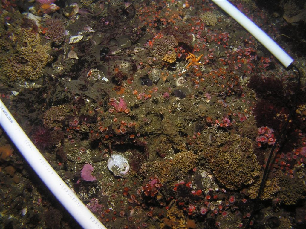
Transects (Size - 3x3, two plastic lengths, 2 string lengths)
Transects and Species Counts
Teams: Jason, Sandra, and Dionna; Clinton and Andy
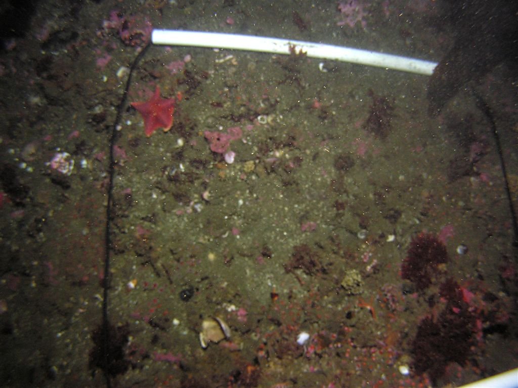
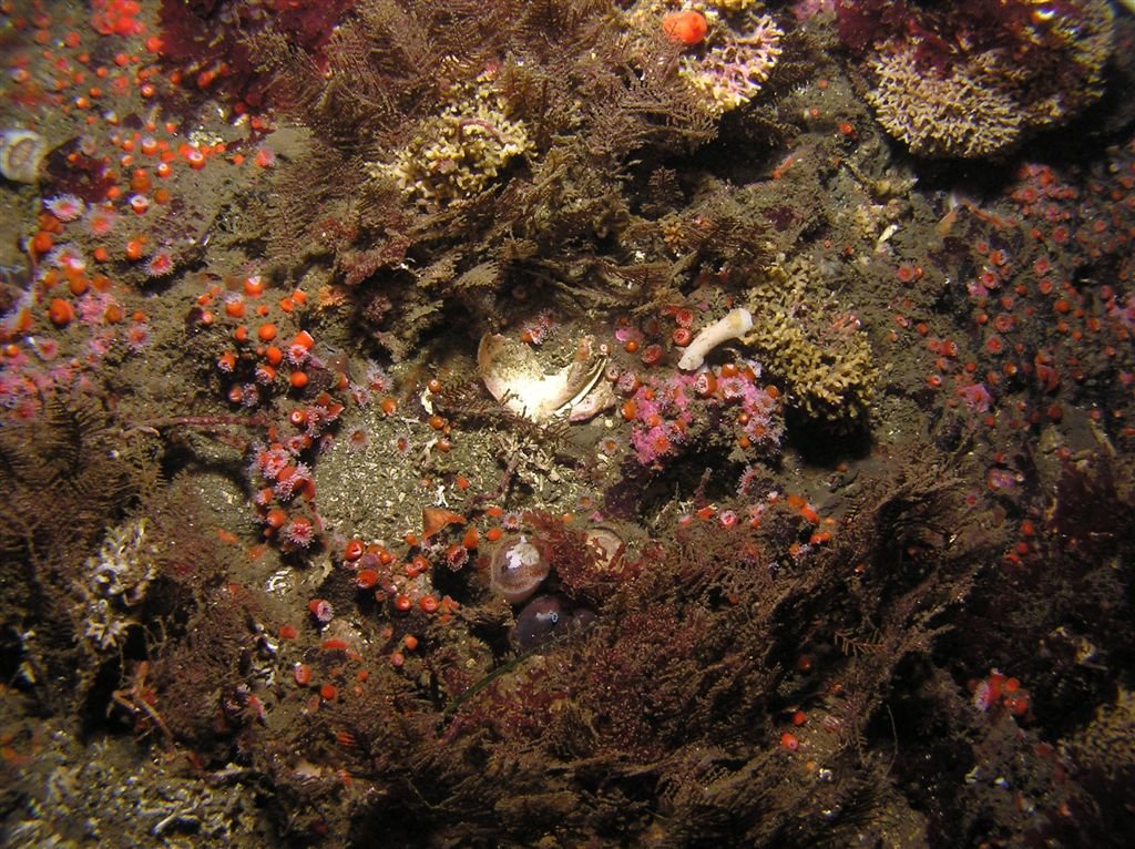
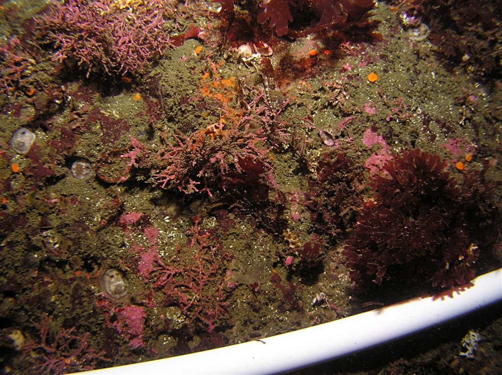
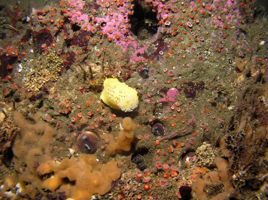
Section 1 - Lower right 25% covered in common algae; Lower 30% covered in corynactis; 1 spiny scallop; 2% coverage of yellow staghorn bryzoan; 1 blood star; 1 bat star; 1 ring top snail; 1 Cadlina lueteomarginata
Section 1
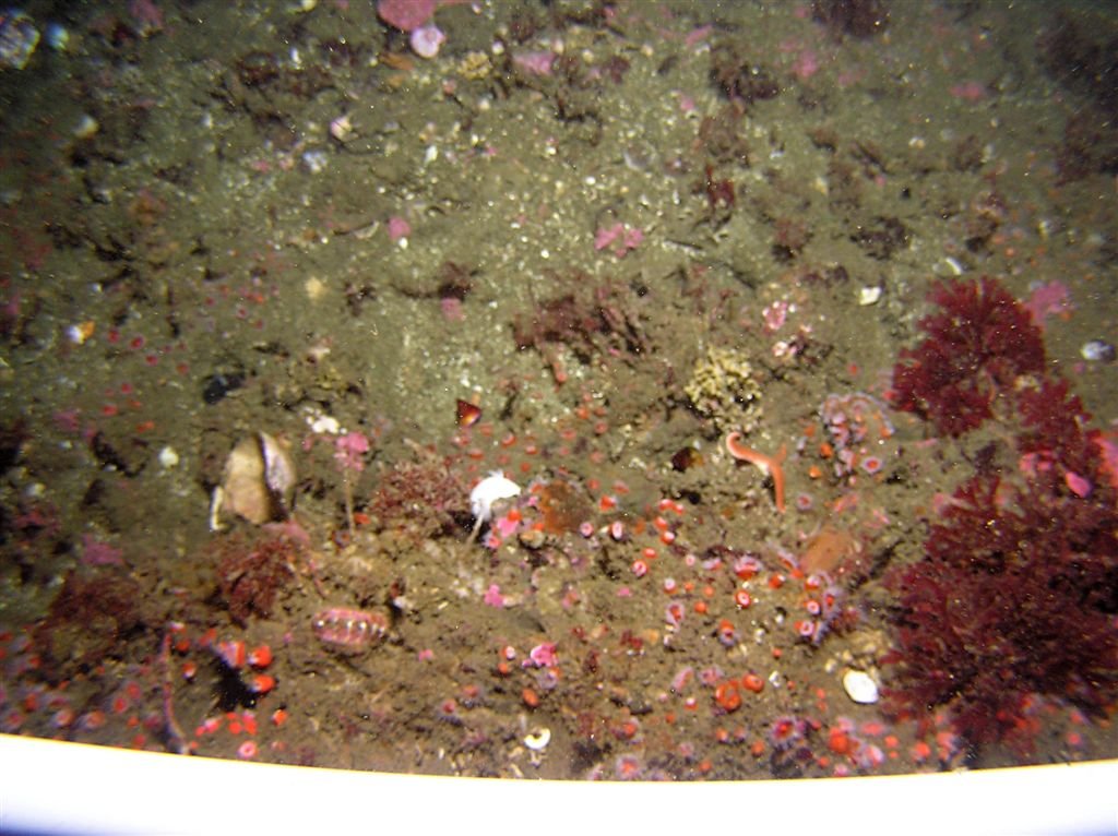
Section 3 - Lower right 25% had most visible life; Pink correline algae; 1 Peltodoris nobilis; iridescent algae beside nudibranch; orange cup coral surrounding algae; orange encrusting sponge 10% coverage
Section 4 - Entire bottom 50% covered by moss animal hydroid; Border of entire square transect ringed by corynactis; Center 10% covered in pink encrusting sponge; 1 Doris montereyensis; small clump of yellow staghorn bryzoan beside nudibranch; top 30% covered with moss animal hydroid and yellow staghorn sponge; 1 piddock clam and 1 horseneck clam next to each other;
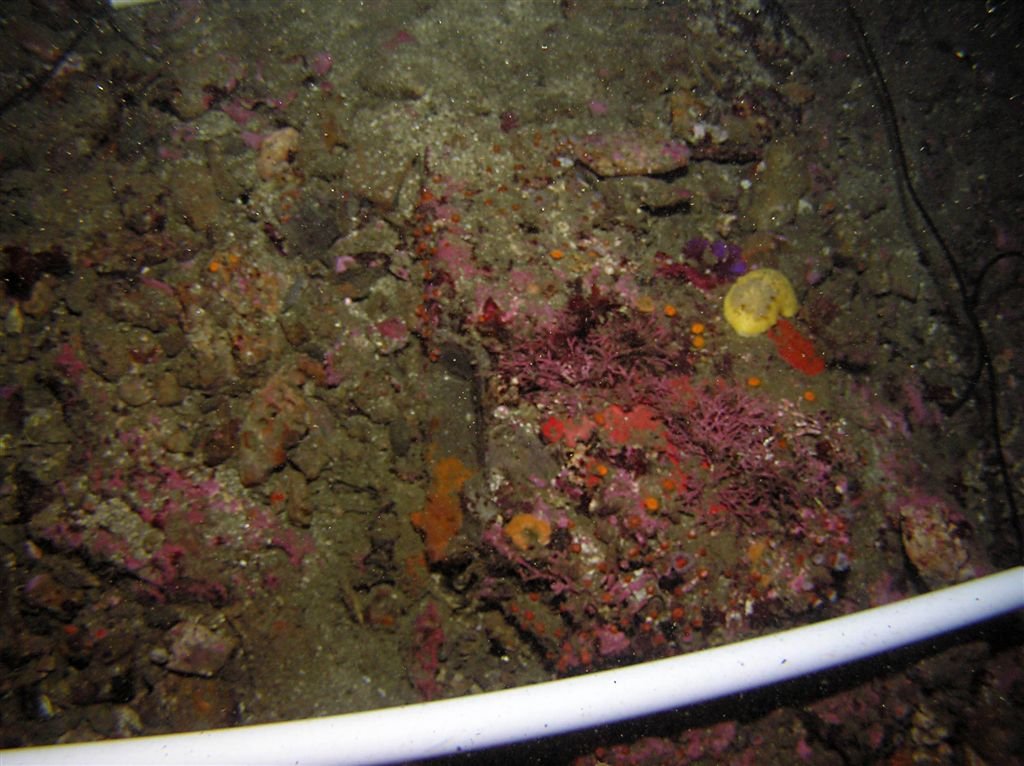
Section 5 - Corraline sculpin; 10% algae coverage in lower right corner; 40% total yellow staghorn bryzoan; 5 piddock clams; pink encrusting sponge 5%; corynactus 5% coverage; 1 purple urchin; 1 blood star
Section 5

Section 6 - 1 small decorator/kelp crab; 30% coverage corynactus; 1 jewel top snail; 10% coverage yellow zooanthids near corynactis; 5% yellow sponge coverage; common algae in center <5% coverage; pink encrusting sponge <5% coverage;
Section 6

Section 7 - 1 blood star; 1 scalyhead sculpin; 10% coverage of pink correline algae; orange cup corals <5% coverage; 50% coverage common algae; **water column near transect 7 and 8**; 1 medium sized lingcod, column of about a dozen fish including vermilion, copper, blue and kelp rockfish
Section 7
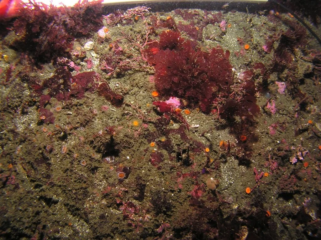
Section 7
Section 8 - Generally empty with exception of clam hole filled with algae; 1 orange cup coral; small group of aggregating nipple sponges

Section 2 - 2 Cadlina lueteomarginata pink and orange encrusting sponge in center of transect – 10% coverage; Right 30% covered in common Algea; Lower 50% covered in corynactis; Entire general area covered in clam holes; 1 visible geoduck clam; 1 coonstripe shrimp

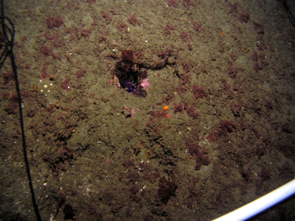
Section 9 - This transaction section is where the line starts (blue weight marker); 10% coverage of staghorn bryzoan; 50% moss animal hydroid; 20% corynactis

Section 1 (Day 2) - 1 orange puffball sponge; 1 blackeyed goby; 1 romquill; 20% common algae coverage
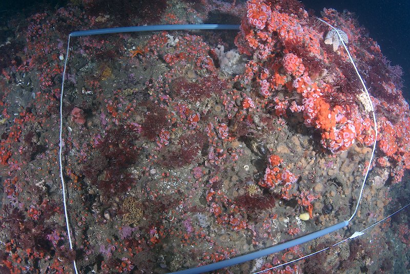
Line 1, Transect 3 - White Volcano Sponge - < 5% (1 small colony :right edge, middle, on line); Finger Sponge - < 5% (1 small colony :top edge, middle); White Chalky Sponge - < 5% (1 small colony :top edge, middle next to Cystodytes lobatus); Unknown Tube Worms - 20-30 (mostly top right corner); Chaceia ovoidea - 4; Peltodoris nobilis - 1; Corynactis californica - 35%; Metridium senile - 10%; Heteropora pacifica - 5%; Bugula californica? - 5%; Pisaster giganteus - 1; Henricia leviuscula - 2; Unknown Tunicate - < 5% (1 small colony :left edge); Cystodytes lobatus? - < 5% (1 colony : top edge, middle); Red Algae - 15%; Encrusting Coralline Algae - 5%
Section 2 (Day 2) - 1 Peltodoris nobilis; several tribellid worms; 10% pink encrusting sponge; 5 piddock clams surrounding nudibranch; 20% orange encrusting sponge with corynactis growing on sponge; 10% staghorn bryzoan coverage
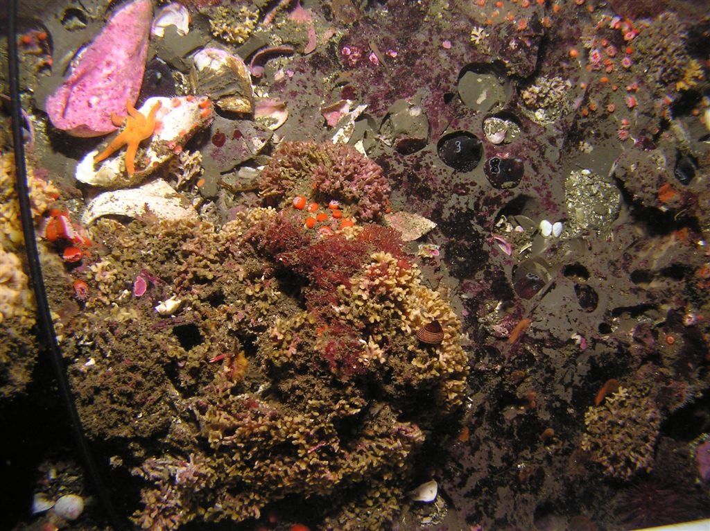
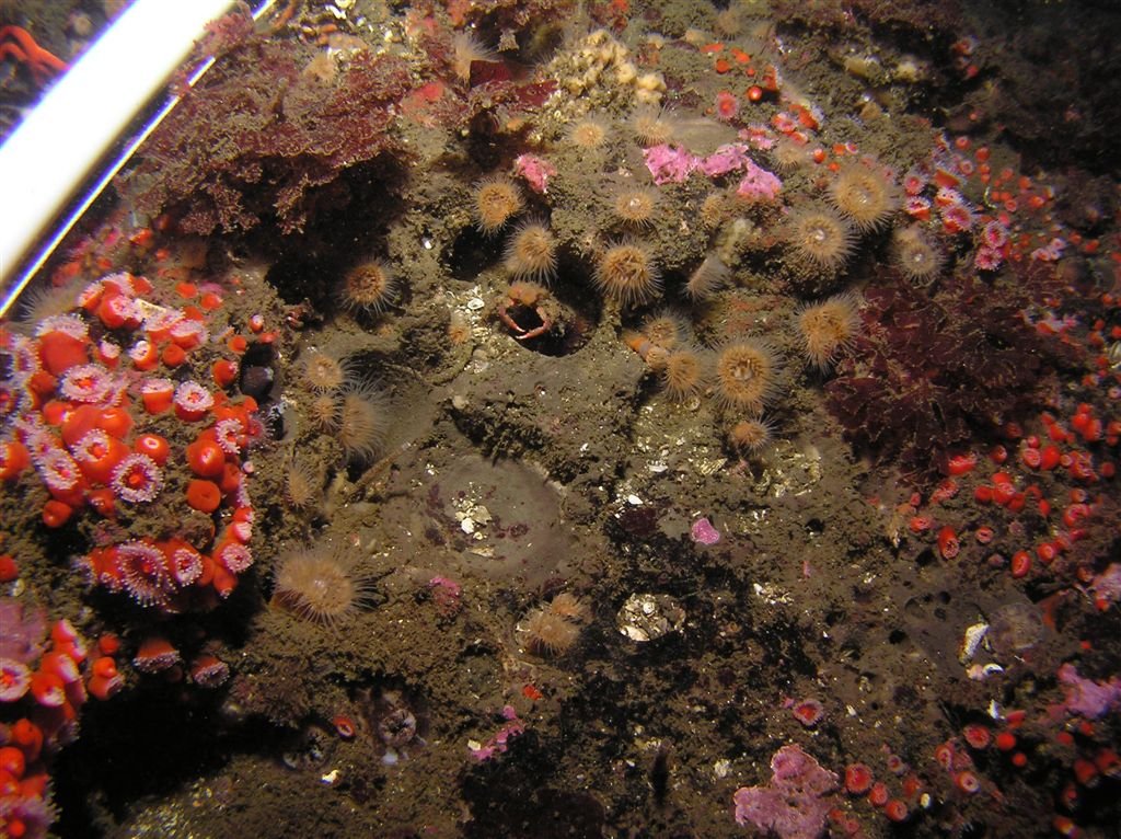
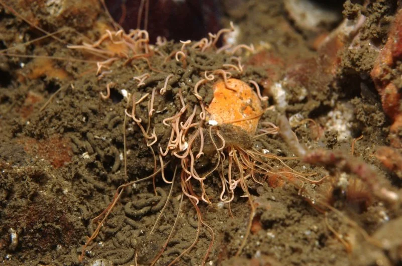
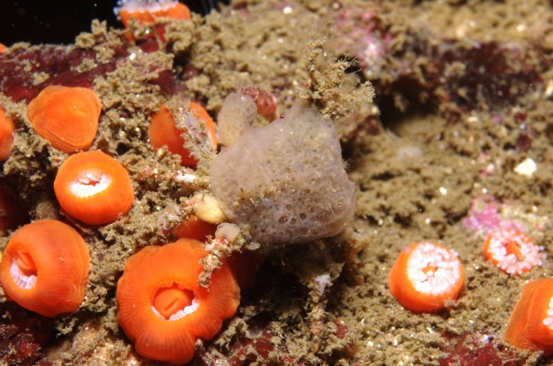
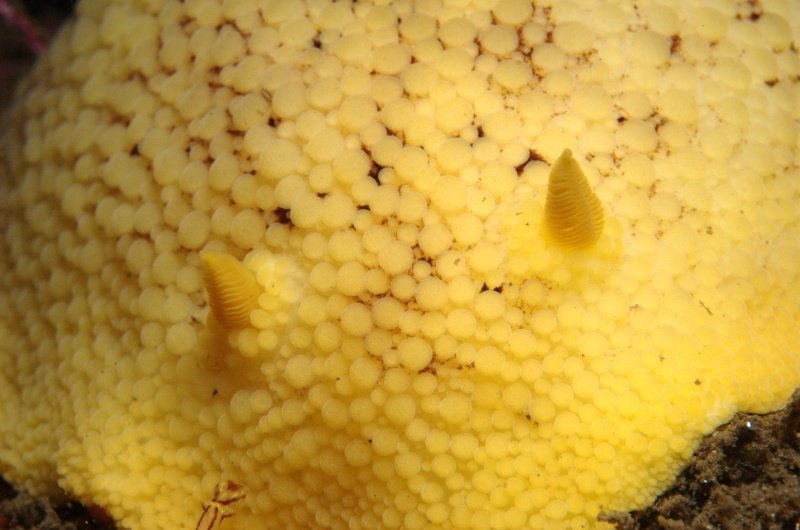
Various macro shots surrounding the transect area
Team: Mark and Kresimir
Unkown
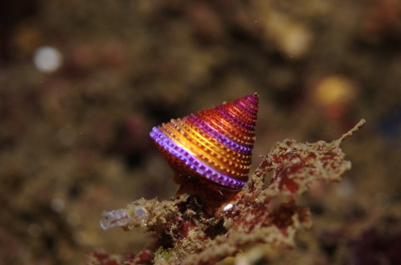
Blue Ringed Topsnail - Calliostoma annulatum
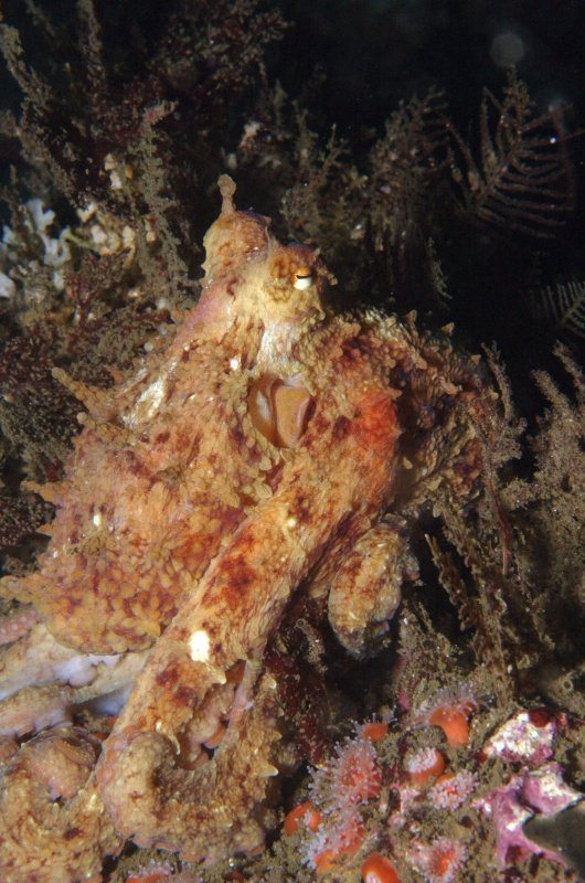
Red Octopus - Octopus rubescens
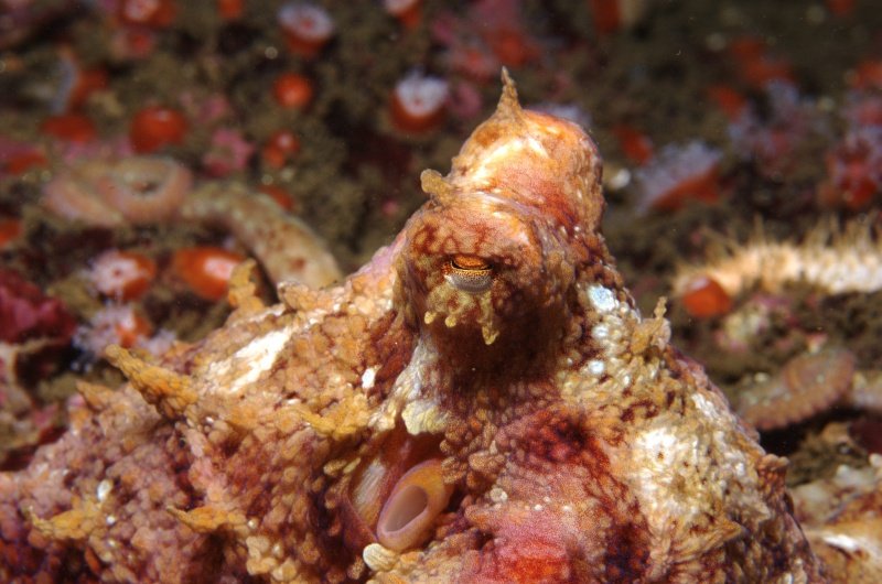
Red Octopus - Octopus rubescens
Sea Anemone and unknown crab - Corynactus californicus
Gopher Rockfish - Sebastes carnatus
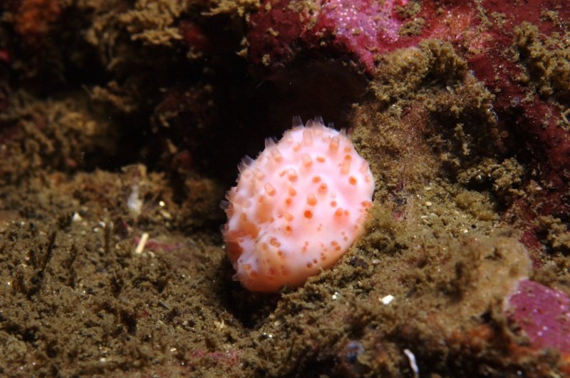
Peltodoris nobilis

Tritonia festiva
unknown tunicate
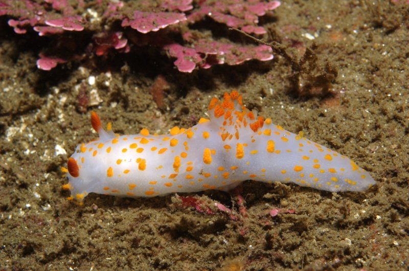
Triopha catalinae
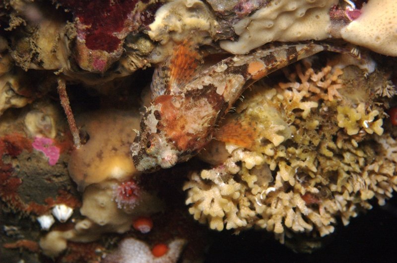
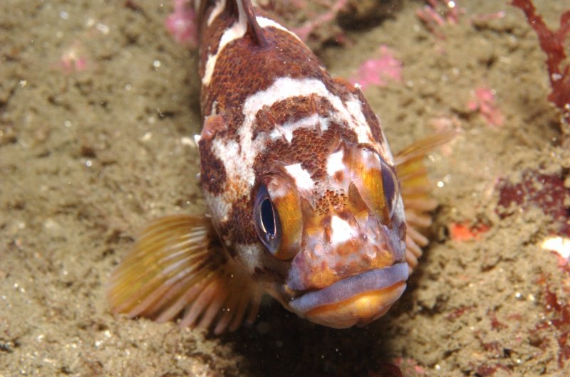
Scalyhead sculpin - Artedius harringtoni

Participants
Beto Nava
Susan Bird
Nick Radov
Suzanne Baird
Brian Gilpin
Gary Banta
Anibal Mata-Sol
Paul Lee
Jason Warshawsky
Sandra Tullis
Dionna House
Clinton Bauder
Mike Jimenez
Andy Mrozek
Mark Lloyd
Kresimir Mihic
Jim Capwell
Abigail Kennedy
Eric Larsen
Scooter, survey, Video, project organizer
Scooter, survey, project support, project organizer
Project support
Survey, project support
Project support
Scooter, project support
Scooter, survey, project support, science director
Scooter, survey
Photographer, project support
Project support, species count
Photographer, species count, project support
Photographer, project organizer
Photographer
Scooter, survey, project support, surface video
Photographer, webmaster
Project support
Boat Captain
Surface director
Boat Captain